SAWiE empowers farmers with innovative, data-driven solutions for sustainable and precise farming practices. By leveraging cutting-edge technologies such as satellite imagery, IoT devices, and artificial intelligence, SAWiE addresses critical agricultural challenges, enabling climate-smart decisions and maximizing productivity while promoting environmental sustainability. Our services are tailored to support agriculture-dependent countries like Pakistan and others where efficient resource management is essential for food security and economic stability.
Key Services
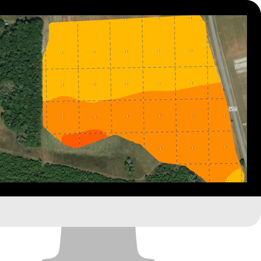
Site-Specific Mapping
SAWiE intelligent devices and spatial images work together, Enabling farmers to monitor their crop health for early detection and locate geo-specific anomalies, pests, diseases, and any other deficiencies. Hence allowing to deploy informed decisions about sowing sites vulnerable to yield losses, pests and quickly reacting to emerging problems of soil health along with the optimized scouting, soil maintenance, and irrigation.
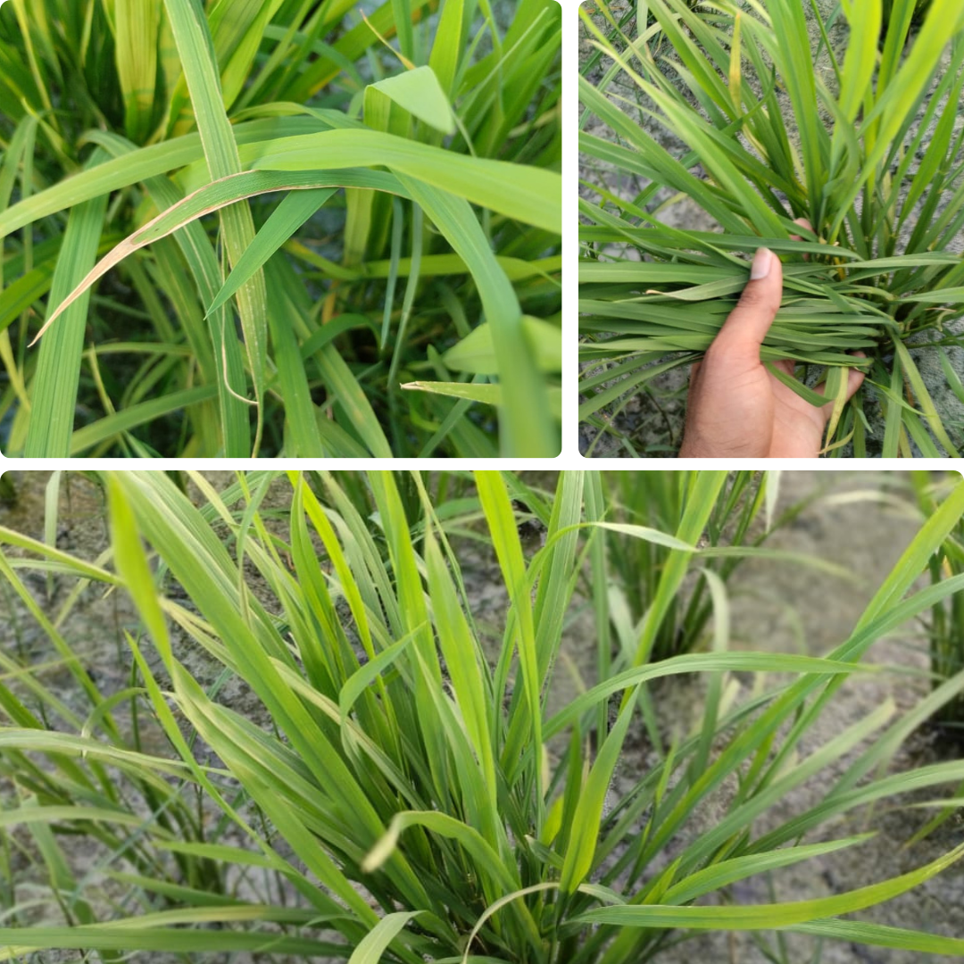
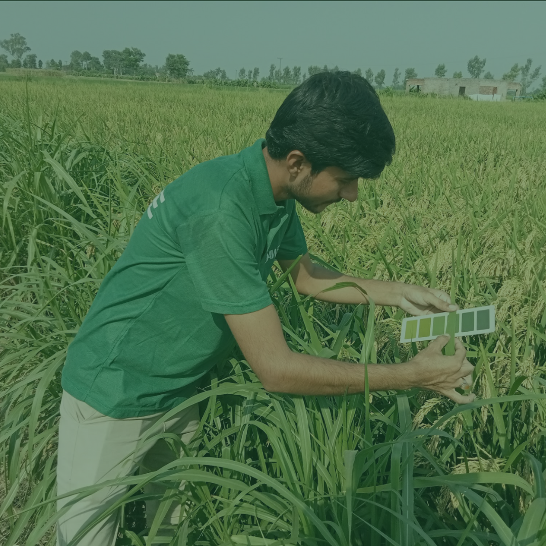
Crop Health Monitoring
Our intelligent devices and spatial imaging systems facilitate the early detection of crop anomalies, including pests, diseases, and nutrient deficiencies. Farmers can pinpoint geo-specific issues, react swiftly to soil health challenges, and optimize scouting, soil maintenance, and irrigation practices. This proactive approach minimizes yield losses and enhances crop resilience.
Yield Monitoring
SAWiE’s satellite imagery and analytical tools highlight distinct changes in vegetation and growth attributes. Farmers can evaluate different cultivars, select the most productive options, and determine optimal seeding times and quantities. This ensures efficient allocation of time and resources to fields with the highest potential.
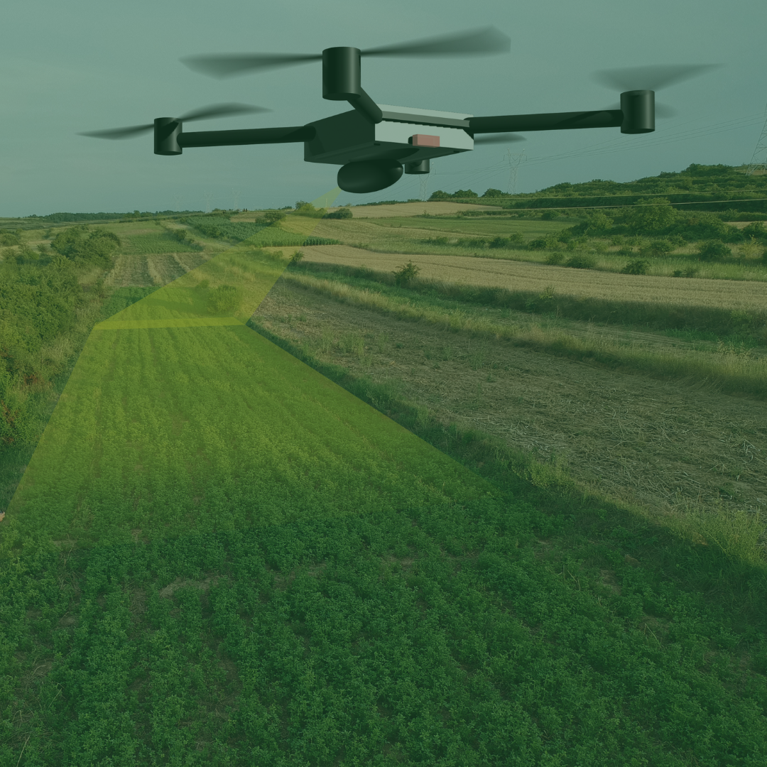
Crop Growth Monitoring
Continuous satellite analysis enables farmers to differentiate between healthy and underperforming crops. Using multispectral imaging, SAWiE tracks plant growth stages, plant counts, and canopy coverage. This data guides precise input application, including irrigation, drainage, and fertilizer schedules, ensuring optimal plant health throughout the growing season.
Comprehensive Crop Management
Soil Mapping
Understand soil composition for effective crop selection and rotation strategies
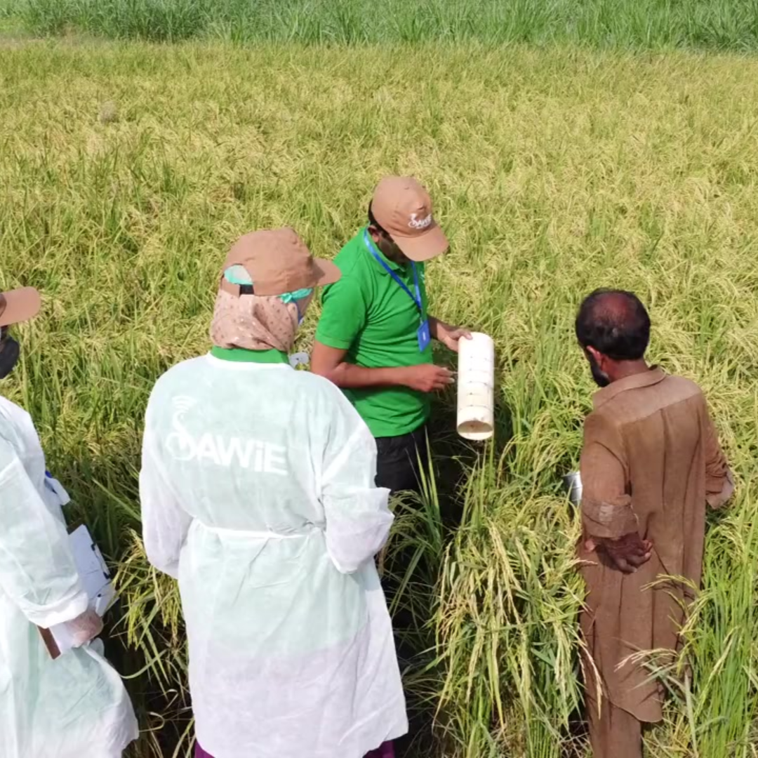
Scouting
Efficiently identify field-specific issues
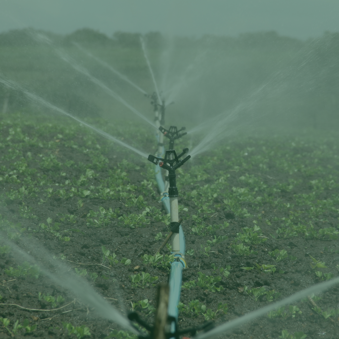
Irrigation Scheduling
Optimize water use for sustainability
Nutrient Management
Develop customized fertilization plans.
Historical Data Analysis
Refine planting strategies and boost soil fertility with intercropping and crop rotation
Crop Harvesting Alerts
SAWiE provides full oversight from seeding to harvesting. By combining predictive analytics and early weather forecasting, we help farmers:
Prepare for harvesting with efficient labor and machinery management.
Mitigate risks from unforeseen weather events.
Separate healthy crops from affected ones.
Monitor infestation trends and set actionable thresholds. This ensures a streamlined harvesting process with maximum yield quality.
Carbon Calculator for Sustainable Agriculture
SAWiE integrates remote sensing, AI, IoT, and data science to promote low-carbon farming practices. Our tools provide:
Insights into soil carbon storage and health.
Strategies to reduce tillage and erosion while enhancing soil biodiversity.
Verified carbon credit generation through sustainable practices. These initiatives contribute to reducing greenhouse gas emissions and building resilient agricultural systems.
Why Climate-Smart Agriculture Matters
Agriculture-dependent economies, especially in countries like Pakistan, face mounting challenges from climate change, resource scarcity, and food security concerns. SAWiE’s climate-smart solutions address these challenges by:
Enhancing Productivity
By optimizing inputs and practices, farmers achieve higher yields with fewer resources.
Mitigating Climate Impacts
Sustainable farming practices reduce vulnerability to climate variability and extreme weather events.
Improving Soil Health
Long-term soil management practices ensure fertile lands for future generations.
Supporting Economic Stability
Efficient resource use minimizes costs and maximizes returns, contributing to rural livelihoods.