We’re excited to share our experience at the International Workshop on GIS and Climate Modelling, organized by the Department of Environmental Science, Lahore College for Women University (LCWU) on 24-25 June 2024.
Our team member, Mr. Abdul Hanan, Head of GIS & Remote Sensing at SAWiE, conducted a hands-on training session on “Google Earth Engine for satellite image processing and analysis in agriculture and environmental applications”.
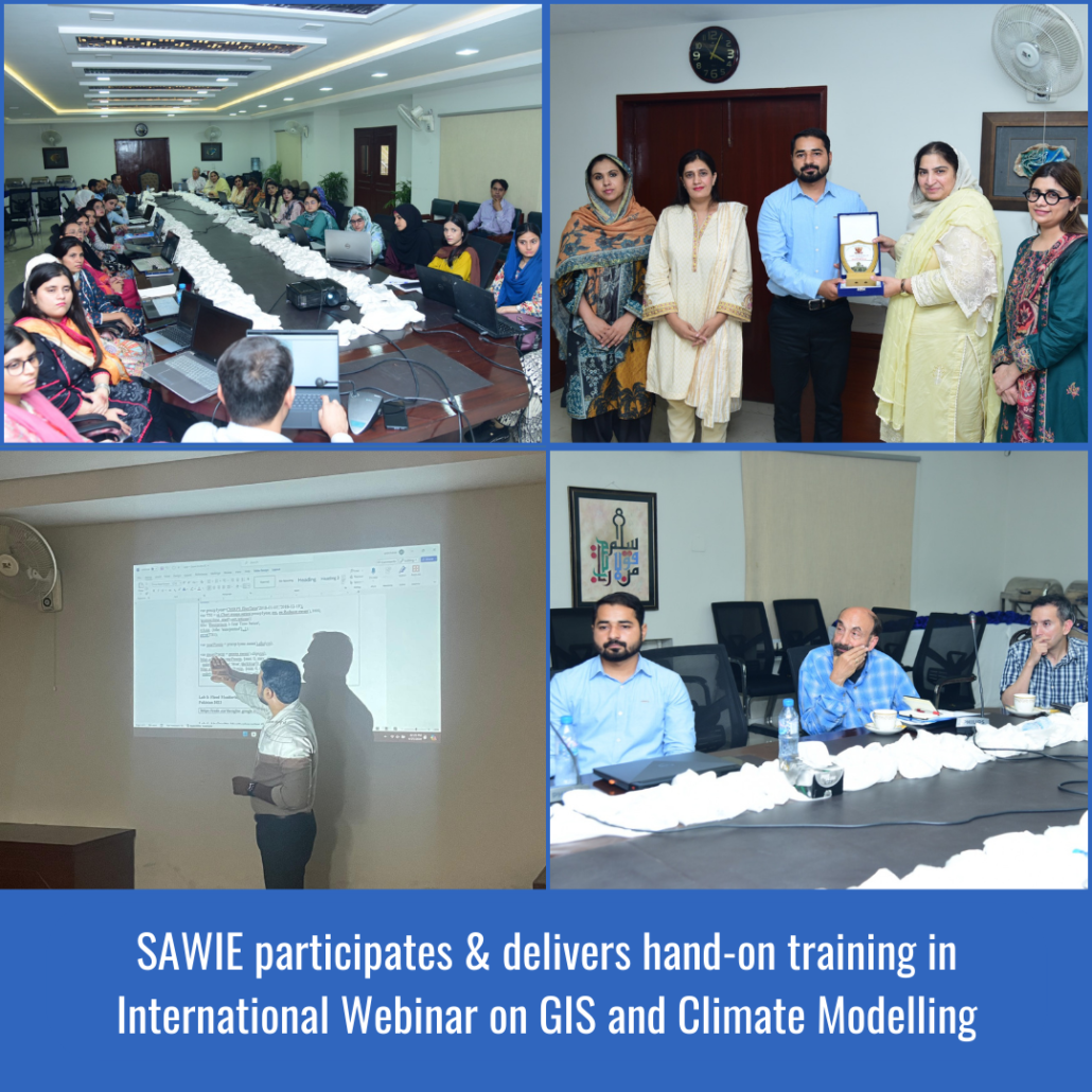
Participants gained valuable insights and practical experience in using Google Earth Engine for:
- Satellite image processing
- Land cover classification
- Crop monitoring
- Environmental monitoring
SAWiE’s expertise in GIS, remote sensing, and satellite image processing aligns with the project’s goals. Our participation demonstrates our commitment to climate-resilient agriculture and sustainability.
We would like to extend our sincere gratitude to the organizers, particularly Prof. Dr. Arifa Tahir and the Department of Environmental Science, LCWU, for inviting SAWiE to be a part of this esteemed workshop. We appreciate the opportunity to share our expertise and contribute to the collective knowledge of GIS and climate modeling.